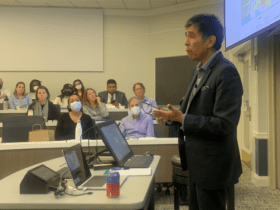
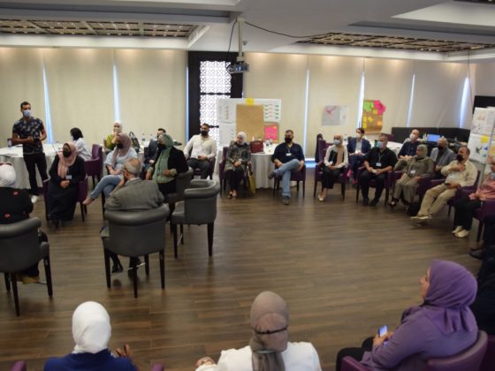
In November, the Global Water Initiative held its second Graduate Water Colloquium, bringing together some 40 graduate students and faculty who study water-related questions at UVA. Graduate students in systems engineering, environmental engineering, environmental science, and architecture presented their work. The effort was led by Teresa Culver and Maria Rossetti. The selection committee chose Charles Burgis and Faria Tuz Zahura, both graduate students in engineering, as joint winners of the GWI Prize. Burgis discussed “Tracking Denitrification in Green Stormwater Infrastructure with Nitrate Stable Isotopes,” and Zahura presented “Assessing a Machine Learning Surrogate for a Detailed Physics-Based Model Used to Predict Urban Coastal Street Flooding.” In two Q&As we present their work; part one focuses on Zahura’s project on machine learning and street flooding.
Where are we in terms of predicting coastal street flooding? What are the outstanding challenges?
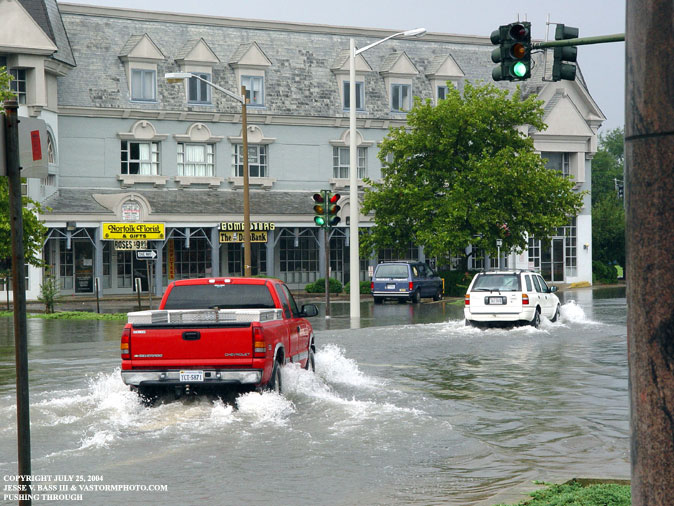
In recent decades, significant efforts have focused on improving the accuracy of weather forecasts: rainfall forecasts, riverine flow forecasts, storm surge forecasts during hurricanes, and so on. While these forecasts are becoming more accurate and detailed, forecasting street-scale flooding resulting from weather events is still an unresolved challenge. Furthermore, compared to major storm events like hurricanes, less attention is given to smaller nuisance floods. Increasingly frequent in coastal cities due to sea level rise, these smaller floods disrupt transportation systems and socioeconomic activities. Recently, researchers have been working to address this challenge of street-scale flood forecasting, but implementation of such detailed forecasting for municipalities is still uncommon.
One challenge preventing the implementation of street-scale flood forecasting is the computational demands required to run traditional, physics-based flood prediction models in real time. In addition, it is often difficult to get accurate digital information about urban systems, including but not limited to underground storm water infrastructure. Missing or erroneous data can limit the predictive power, and therefore the utility, of street-scale flood predictions.
How can machine learning help improve predictions?
Conventional models for flood prediction require solving physical equations governing fluid dynamics. While these models are capable of simulating complex flood dynamics, they are time consuming to build, calibrate, and run at the scale of a city, and therefore require expensive and sophisticated high-performance computing (HPC) resources. As a result, they are often unsuitable for real-time, city-scale flood prediction. In contrast, machine-learning methods learn from patterns and relationships in data rather than solving physics-based equations directly, which makes them much faster to run even without HPC resources. Our idea is to take advantage of the strengths of both approaches by building a detailed physics-based model for a portion of our test city—Norfolk, Virginia—and training machine-learning models from the physics-based model for real-time flood forecasting applications. The machine-learning models can learn patterns common in flood dynamics from the physics-based flood model, and then be used as a surrogate for real-time flood forecasting applications. Our initial results show that we can train machine-learning models to obtain high accuracy levels with less than twenty storm events simulated by the physics-based model. Once trained, the machine-learning model can run 1,500 times faster than the physics-based model, making it ideal for real-time flood forecasting.
Why study Norfolk? What lessons that you draw for the city of Norfolk can be transferred to other cities?
Due to climate change and sea level rise, coastal communities across the globe are anticipated to experience increased frequency and severity of flooding. Norfolk (see Figure) is experiencing these challenges today and, therefore, is an ideal case study for learning what other coastal cities might face in the near future. Norfolk, and the larger Hampton Roads region of Virginia, is considered the second-most vulnerable community to coastal flooding in the United States, behind only New Orleans. Norfolk is also one of the Rockefeller Foundation’s 100 Resilient Cities in the world, which makes it part of a powerful global network of cities addressing resiliency challenges. In addition, Norfolk is home to the world’s largest naval base and the second-busiest port on the East Coast. Our team at UVA has been working with Norfolk’s Office of Resilience over the past three years, developing a deep partnership needed to bring research outcomes to practice. Our research studying Norfolk will not only serve to improve its resilience, but also have larger impacts through the direct and indirect transfer of methods, techniques, and knowledge beyond Norfolk to other communities.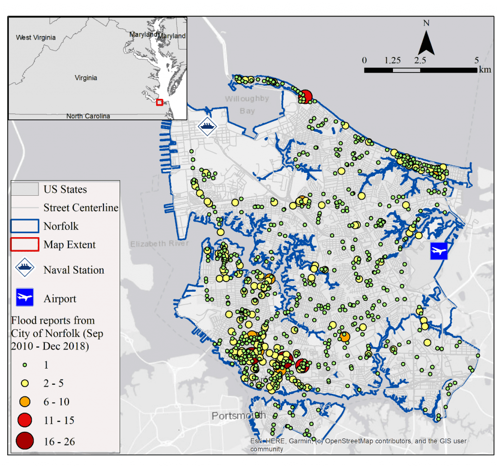 Figure: Map showing the reported flood locations and number of reports at each location in Norfolk, VA. This data was collected from the City of Norfolk between September 2010 and December 2018.
Where does your research go from here?
The machine-learning models I have built so far have been trained on the available data to make predictions for only a portion of the overall city limits. Next, I intend to investigate whether these models are capable of making predictions for portions of the city outside of the training area. There are many intriguing research questions that I hope to explore in my future research. I am curious how well a model trained for Norfolk can transfer to another coastal city (e.g., Virginia Beach or Miami Beach). I am also curious to explore how predictions made by the model can be trusted and used by decision-makers during flooding events to improve transportation resilience. Answering these questions can lead toward solutions for coastal cities across the world, helping them to improve their flood-prediction capabilities and emergency flood preparedness as they continue to face the challenges of climate change and sea-level rise.

